This morning, a new red flag fire weather warning has been put in place for parts of Los Angeles and Ventura counties, raising concerns among residents and fire officials alike. With wind gusts expected to reach up to 65 mph, fire crews are on high alert, ready to tackle any potential wildfires that could flare up during these gusty conditions.
Extreme Red Flag Fire Weather Warning in Effect
As of today, a “particularly dangerous situation” has been declared for several areas throughout Los Angeles and Ventura counties, which includes places like Northridge, Thousand Oaks, Simi Valley, Camarillo, and Fillmore. This warning is important because it signals that if fires were to start, they could spread very quickly due to the intense winds. The warning is predicted to last until 3 p.m. today, but for some areas, it may extend until Thursday. Fire officials encourage everyone to stay vigilant, especially given the heightened risk of wildfires.
Firefighters Battling Flames Amidst Gusty Winds
Even as the winds are returning, firefighters across Southern California are actively working to control ongoing wildfires. With the winds beginning to slow down, firefighters are making significant progress in containing the blazes. Just yesterday, law enforcement made multiple arrests in connection with a brush fire in San Bernardino, showcasing the strain on local resources as they tackle these dangerous fires.
Damage Assessment from Palisades Fire and Eaton Fire
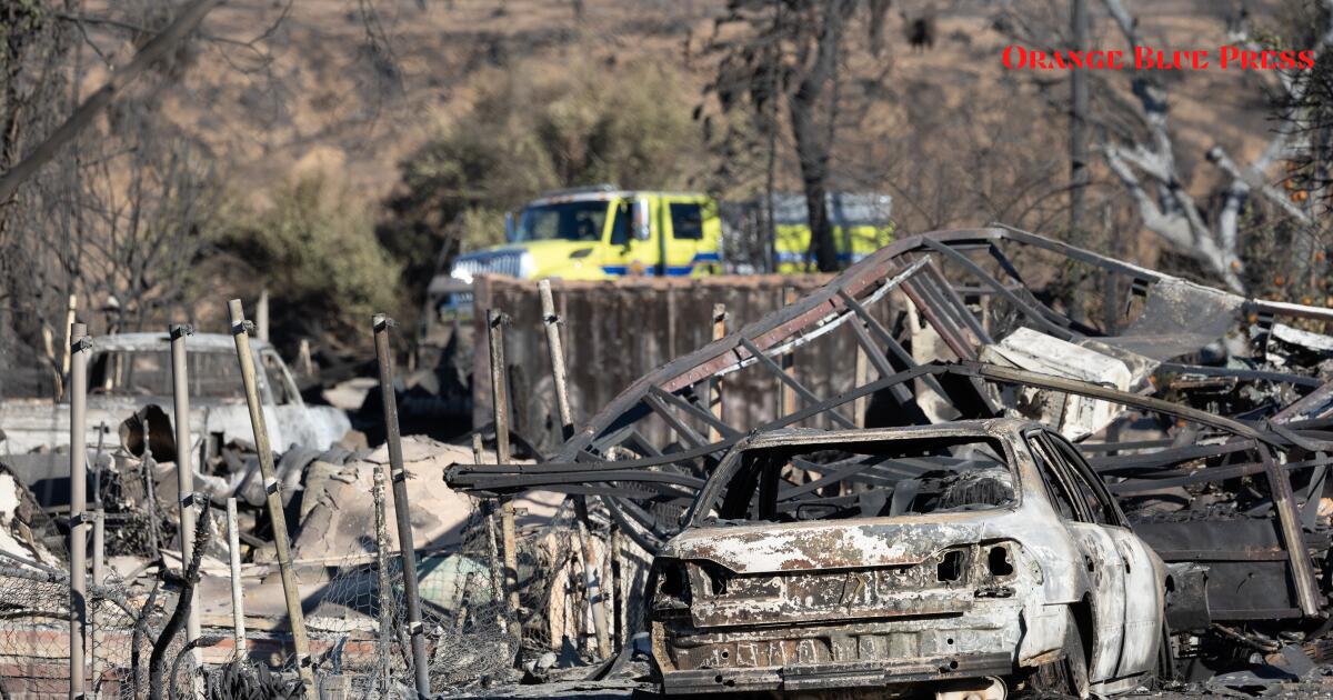
Los Angeles County has recently released detailed maps showing damage from the devastating Palisades and Eaton fires. The Palisades Fire, which ignited on January 7, has burned through approximately 23,713 acres and destroyed or damaged around 5,000 structures. Just after, the Eaton Fire occurred, consuming another 14,117 acres and impacting over 7,000 buildings. These maps utilize advanced Skymap technology to provide block-by-block aerial views of the damages, allowing families and individuals to better understand how the fires have affected their communities.
Understanding Wildfire Containment Efforts
With wildfires blazing, it’s essential to understand what “containment” means. Containment refers to creating a perimeter around a fire to prevent it from spreading any further. Firefighters often use natural features like roads and rivers, or even dig trenches to help establish these boundaries. As of Tuesday, the Palisades Fire was only 17% contained, while the Eaton Fire reached 35% containment. It’s crucial for the community and firefighters alike to monitor the status of these fires, especially with the forecast predicting Santa Ana winds that could create critical fire conditions.
Maps Revealing Damage Levels and Next Steps
The newly released damage assessment maps show the extent of destruction caused by these wildfires. Icons on the county’s wildfire recovery website indicate which structures were damaged, destroyed, or left untouched. Furthermore, current photos are attached to each icon for anyone seeking to assess the situation in their area. An unmarked icon signifies that a building has yet to be inspected, which is quite important for families hoping to return home.
What Can You Do to Help?
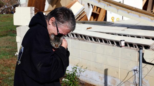
During this challenging time, it’s more important than ever to show support for those affected by the wildfires. Staying informed about fire conditions and respecting any evacuation orders is essential for everyone’s safety. Community members can also assist by donating to local charities that support wildfire victims or volunteering to help those displaced by the fires. As conditions change, everyone is encouraged to lend a helping hand when possible.


